

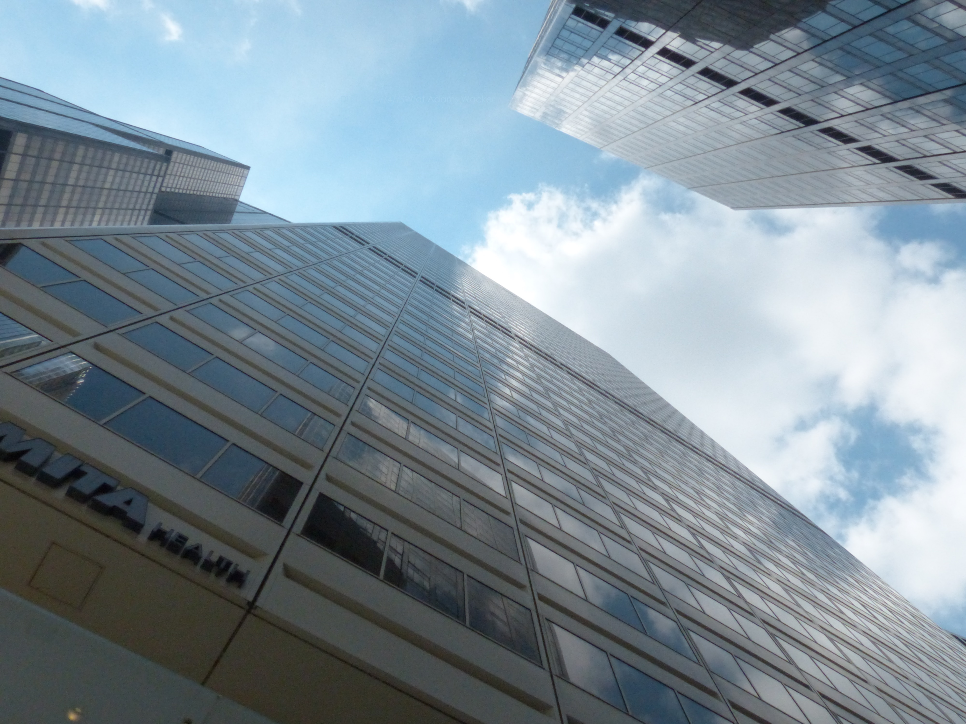
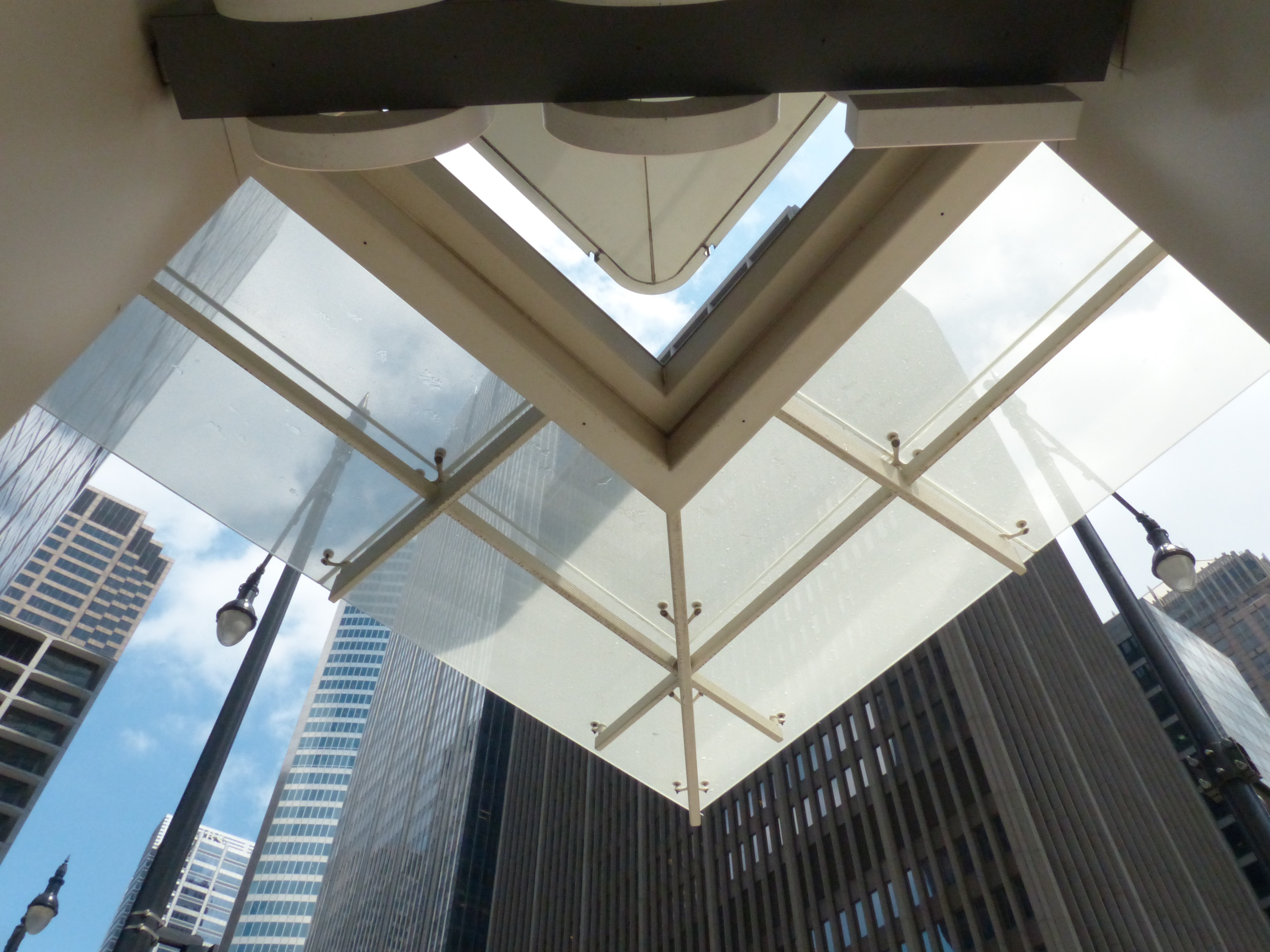
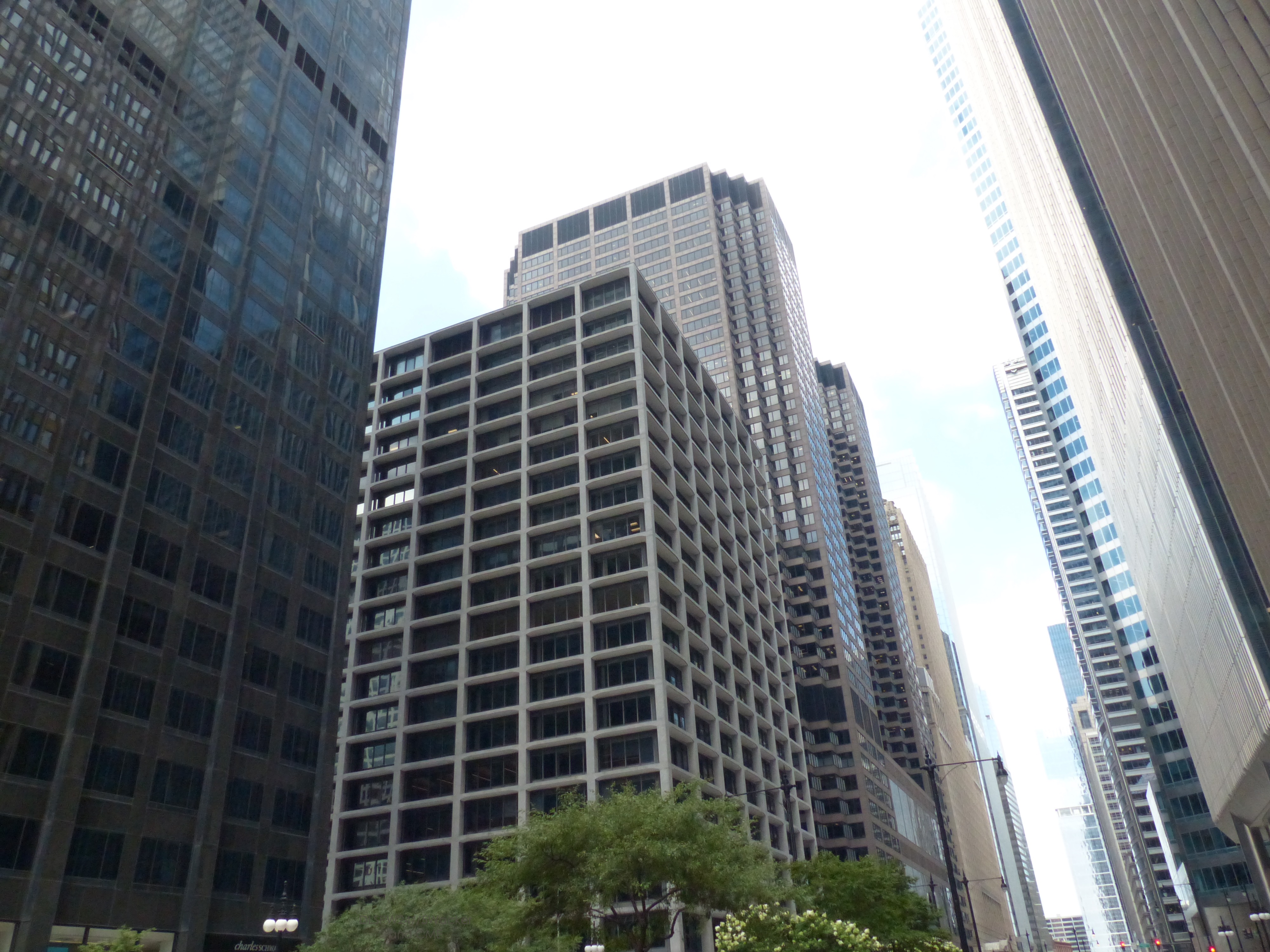
Sky shapes and angles form at every turn of a corner and every move of the camera lens along Chicago’s levels of architecture and building styles. In the Chicago Loop are structures that serve the commercial and transportation world of America’s third largest city.
History and Definition of the Loop.
The Chicago Loop is bordered by the Chicago River to the north and west, Ida B. Wells Drive and Roosevelt Road to the south, and Lake Michigan to the east. The area includes the Fort Dearborn Addition, where the fort was constructed in 1803-1804.
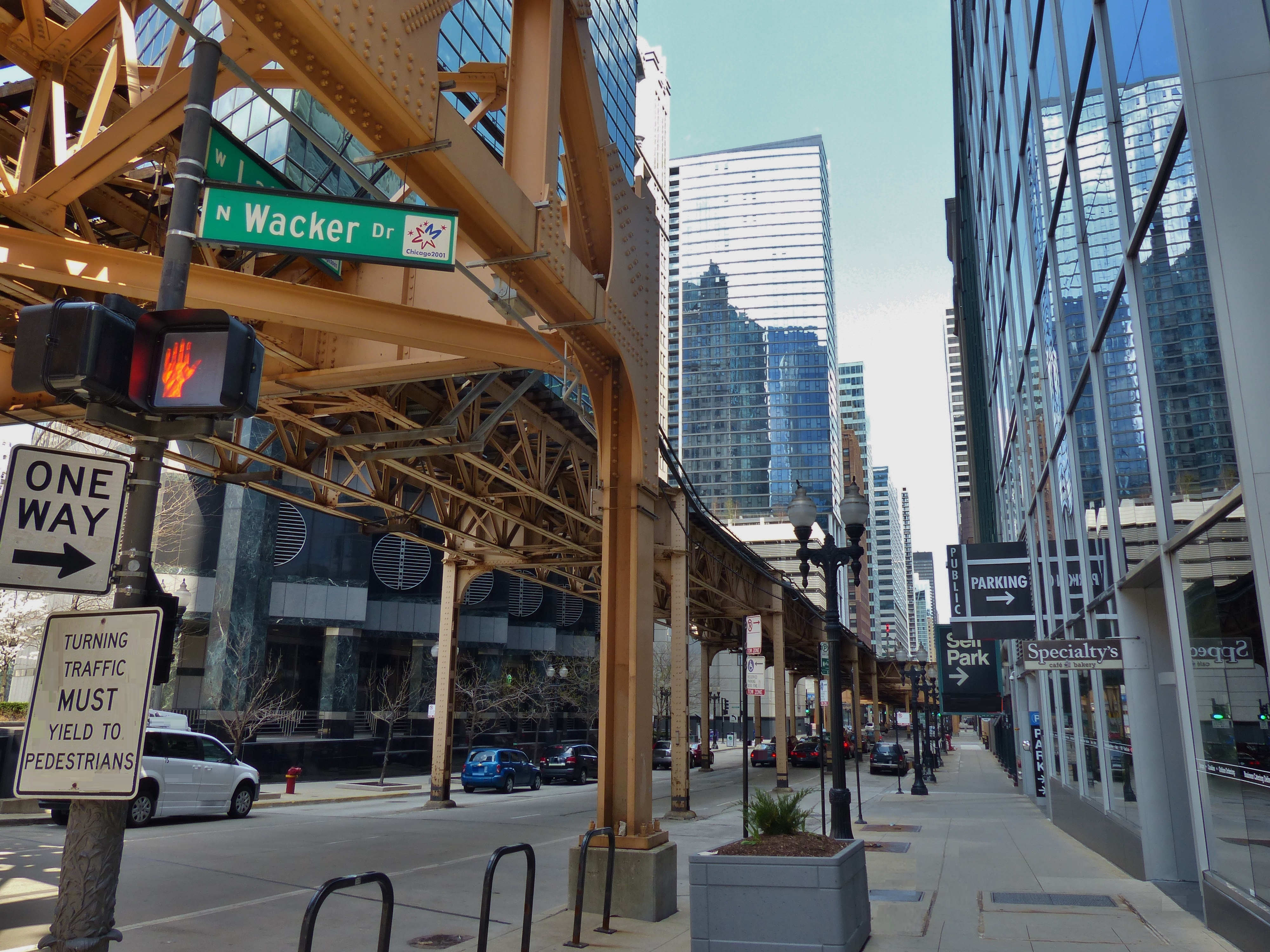
The Chicago Loop is significant because it was the early seat of government from the construction of Fort Dearborn in 1803-1804 to the incorporation of the city in 1830. The Loop is a hub of county government as well. Elevated railway tracks (the iconic “L”- thus the “loop”) circle parts of town from Lake Street to the north, to Wabash Avenue to LaSalle and Van Buren, to Washington and Wells. From this surround the system branches north, west, and south.
The Loop continues to be the center of city and county government, and parts of the historic financial and commercial districts are being revitalized and repurposed.


Conclusion
Chicago is home to structures displaying many styles of architecture, from the classical orders to towering glass-sheathed skyscrapers. The city’s resilience is linked to its connections with all manner of transactions, from commodities to stocks, and the transportation industries continue to be important, as train stations and bus transit centers link thousands of people every day to homes, schools, and businesses. Green spaces and entertainment venues provide places for rest, reflection, and enjoyment of the performing arts.
A Timeline of the Featured Structures:
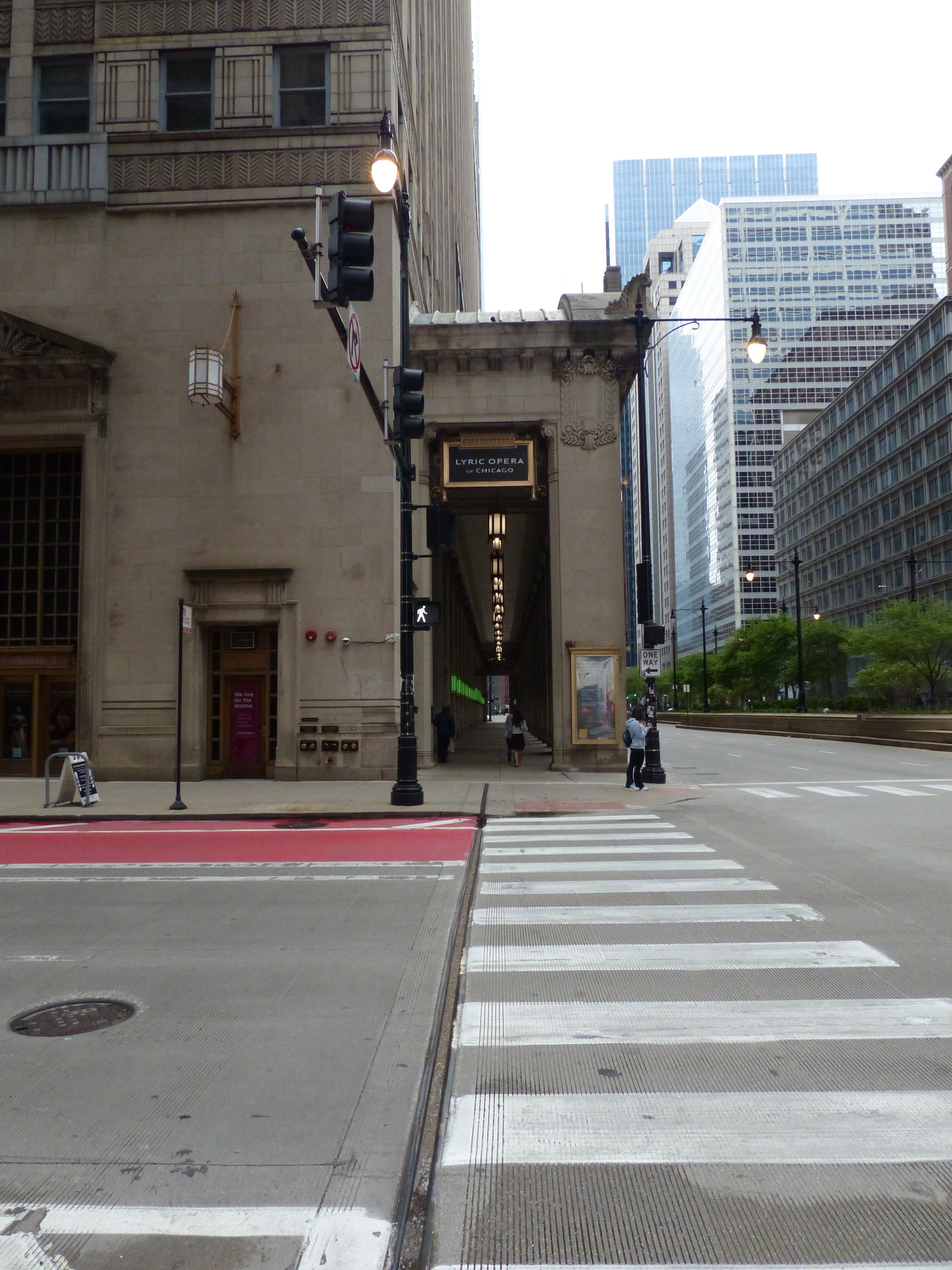
Civic Opera House: 1929
100 South Wacker Drive: 1961
150 South Wacker Drive: 1971
Sears Tower: 1974
125 South Wacker Drive: 1974
200 South Wacker Drive: 1981
Chicago Mercantile Exchange: 1987
One North Wacker Drive: 2002
111 South Wacker Drive: 2005
71 South Wacker Drive: 2005
Resources
- The photography collection of Divi Logan, author of this presentation.
- Wikipedia contributors. “111 South Wacker Drive.” Wikipedia, The Free Encyclopedia. Wikipedia, The Free Encyclopedia, 17 Apr. 2024. Web. 16 Jul. 2024.
- Copilot search. “Sent by you: What are the boundaries of the Loop of Chicago?” The Loop in Chicago is a vibrant mixed-use district and the city’s central business district. Its boundaries are defined by the Chicago River to the north and west, Ida B. Wells Drive to the south, and Lake Michigan to the east12. Locally, it also includes the area known as the “South Loop,” which extends all the way to Roosevelt Road. Additionally, the Loop refers to the circular section of the Chicago “L” (elevated rail system) where multiple train lines converge around downtown Chicago. It’s a dynamic hub with iconic sites like Willis Tower, the Chicago Board of Trade, and cultural attractions1. If you want to learn more or connect with the local community, you can reach out to the Chicago Loop Alliance13. 🌆https://sl.bing.net/cTUvU8pw7QO. 29 July 2024.
- Wikipedia contributors. “Chicago Loop.” Wikipedia, The Free Encyclopedia. Wikipedia, The Free Encyclopedia, 16 Jul. 2024. Web. 29 Jul. 2024.
Discover more from Frame the Works
Subscribe to get the latest posts sent to your email.
