Public Works, that is. Photographs and Research Documenting our Industrial Heritage. Includes Field Notes with Archival Quality Photographs and Cartographic Studies.
Structures of the West Loop: Angles, Sky Shapes and Sky Lines. Included: Chicago Union Station and BMO Tower.
History and Definition of the Loop Areas.
The West Loop is defined by the following roads or features: Grand Avenue to the north, I-290 to the south, Ashland and Ogden to the west, and the Chicago River to the east.
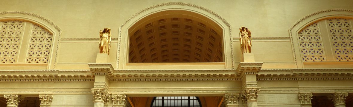
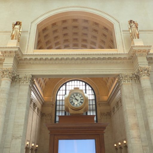
Chicago’s West Loop is a showcase of the city’s architectural diversity, from the ashlar stonework of Union Station to the glass walls of BMO Tower.
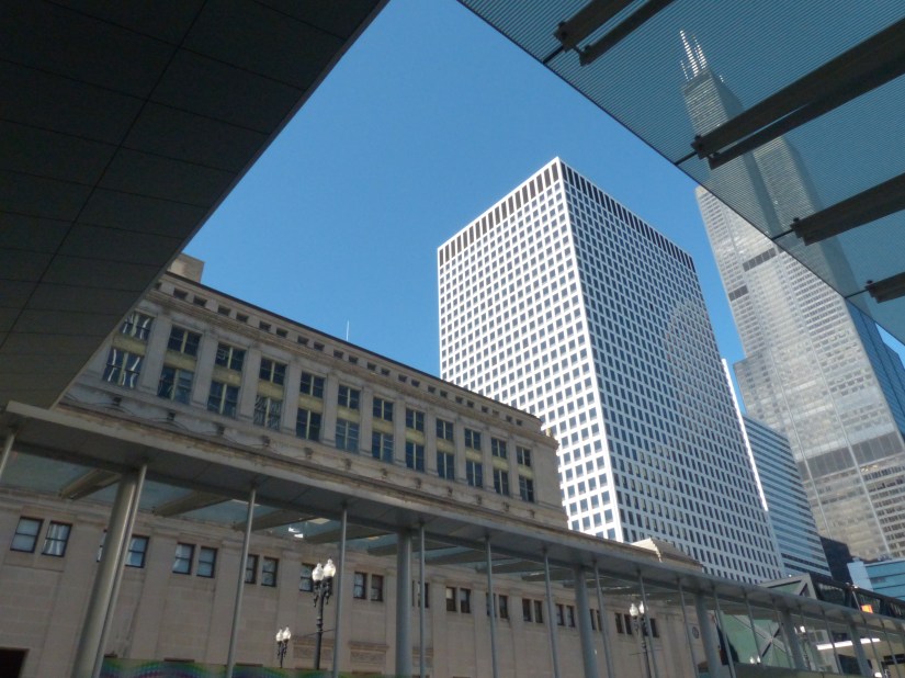
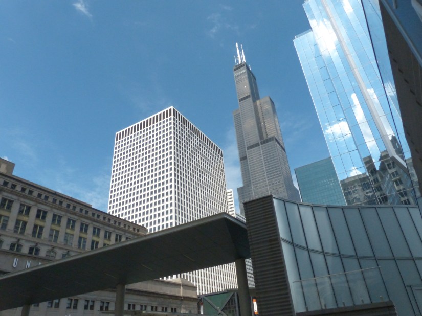
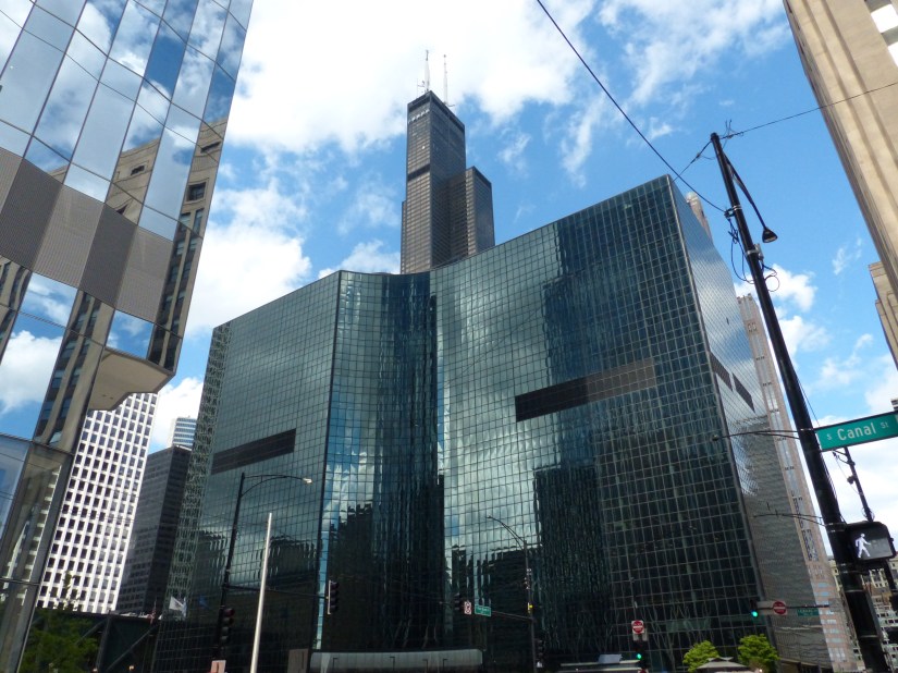
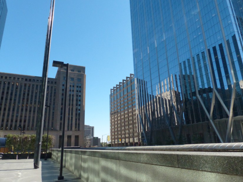
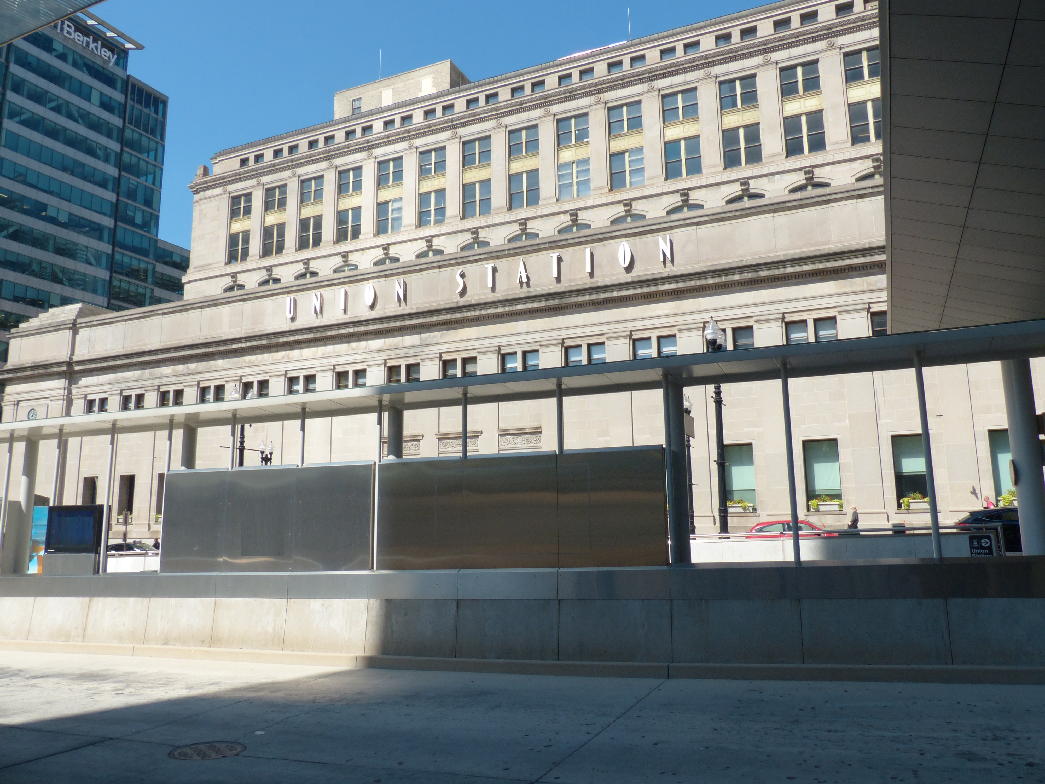
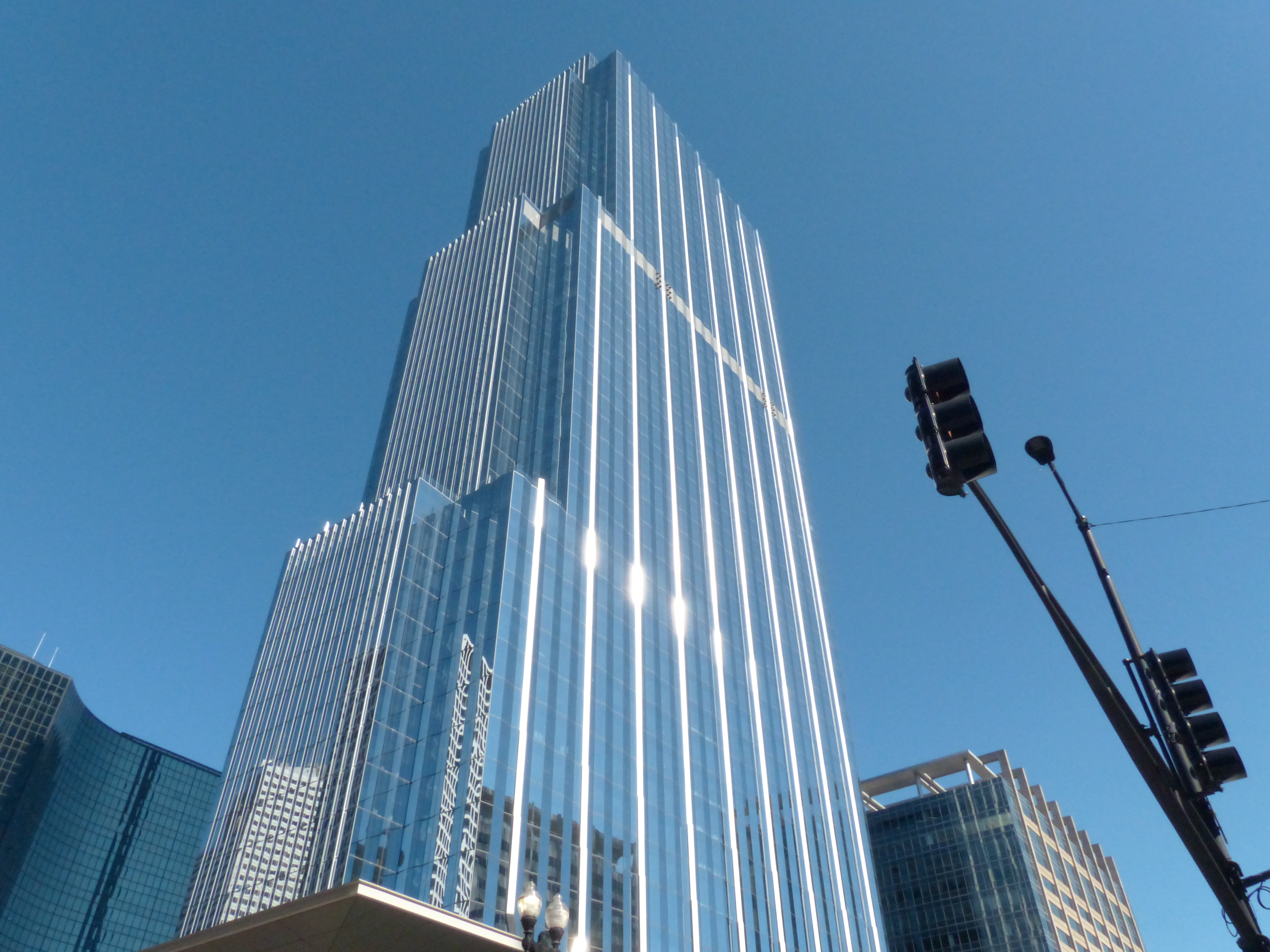
Structures carve geometric sky shapes along West Jackson Boulevard. The canopies of Union Station Transit Center frame the image. At left is Chicago Union Station, to its right is Fifth Third Center, and towards the center are 200 South Wacker Drive and the Sears Tower.Views around Chicago Union Station and the bus transit center include one of the canopies at the south entrance to the transit hub and a curving wall that partitions the adjacent park and restaurant. At right is Chicago Union Station, to its right is the Fifth Third Center, part of the station’s multiplex, just visible to its right is 200 S. Wacker Drive. Rising at the center is the Sears (Willis) Tower. To its right is part of Gateway Center IV. The photo is framed on the right by BMO Tower.The unique shape of Gateway Center IV (completed in 1983) anchors this image, taken south of Chicago Union Station. Gateway Center IV’s lines closely follow the curves of the Chicago River’s south branch/ Rising behind it and across the river is the Sears Tower (completed in 1974).In the foreground is part of the roof of the south train concourse at Chicago Union Station. At left is the Old Post Office. Part of I-290 is at center. BMO Tower and the Congress Center complete the photograph at center and right.Chicago Union Station (1925) anchors part of the city’s transportation system and history, being a hub for trains since its opening. The transit center serves CTA bus connections. It was completed in 2016.BMO Tower (2022) anchors this view, which looks southeast from the corner of S. Clinton Street and W. Jackson Boulevard.